

Agisoft Metashape – Post Processing Software
- Discover intelligent photogrammetry with Metashape
- Process digital images and generate 3D spatial data
Ready to start your project?
Contact us today for a free consultation and the best solution.
Description
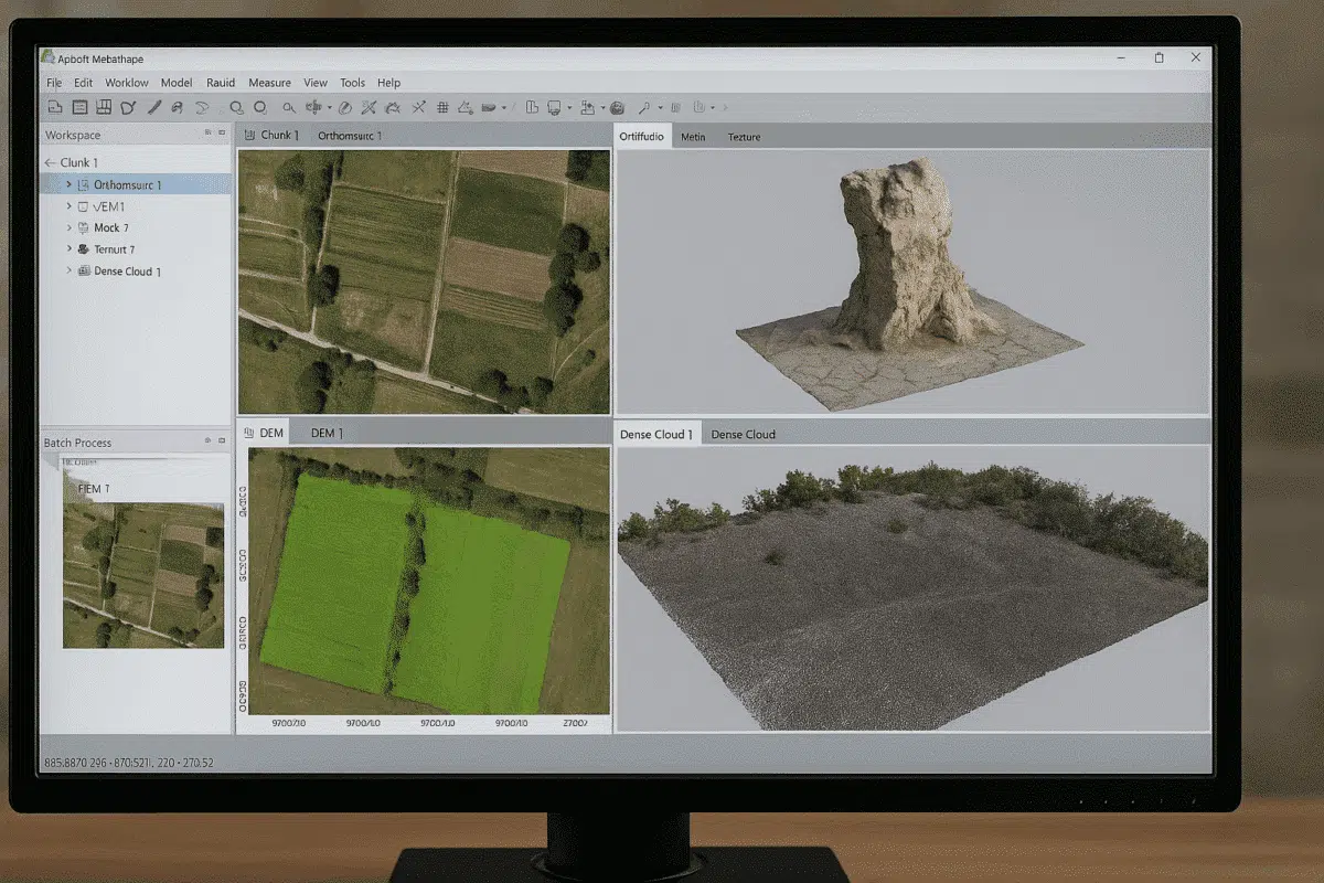
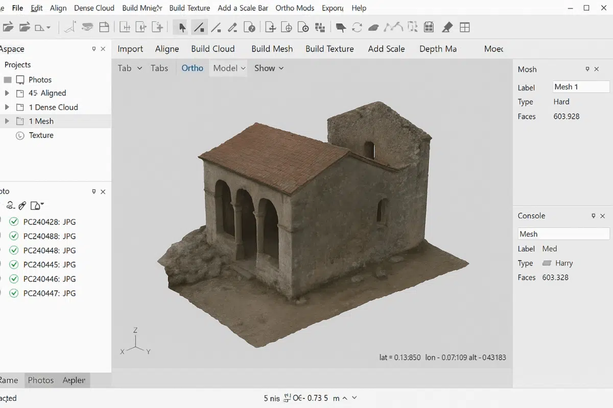
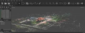
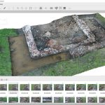
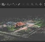
Agisoft Metashape is a professional photogrammetry software used to convert aerial and terrestrial photographs into highly accurate 3D models, orthomosaics, point clouds, DSMs, and DTMs. It is widely used by professionals in the fields of surveying, geospatial engineering, mining, archaeology, forestry, and construction.
Agisoft Metashape works with the Structure from Motion (SfM) and Multi-View Stereo (MVS) methods to reconstruct objects or areas into image-based 3D models.
SPECIFICATION
DOWNLOAD
Want to see more detailed specifications?
Download the full specifications PDF file via the link below.
General Questions
Agisoft Metashape is a professional photogrammetry software for processing photos into high-accuracy 3D models, orthomosaics, DSMs, DTMs, and point clouds.
Digunakan untuk:
- Survey & mapping topografi
- Perhitungan volume stockpile
- Monitoring progres proyek
- Dokumentasi 3D
- Arkeologi & heritage
- Pertanian & kehutanan
Metashape mendukung:
- Foto drone (RGB)
- Kamera DSLR / mirrorless
- Kamera handheld
- Kamera multispektral
Ya. Metashape mendukung:
- Input koordinat RTK/PPK
- Import GCP (Ground Control Point)
- Analisis error & laporan akurasi
- Orthomosaic (GeoTIFF)
- DSM / DTM
- Dense point cloud (LAS/LAZ)
- Model 3D (OBJ, FBX, dll)
- Kontur
Still unsure about choosing the right product?
Contact us today for a free consultation and the best solution.
Free Consultation