

Agisoft Metashape – Post Processing Software
- Discover intelligent photogrammetry with Metashape
- Process digital images and generate 3D spatial data
Siap memulai proyek Anda?
Hubungi kami hari ini untuk konsultasi gratis dan solusi terbaik.
Deskripsi
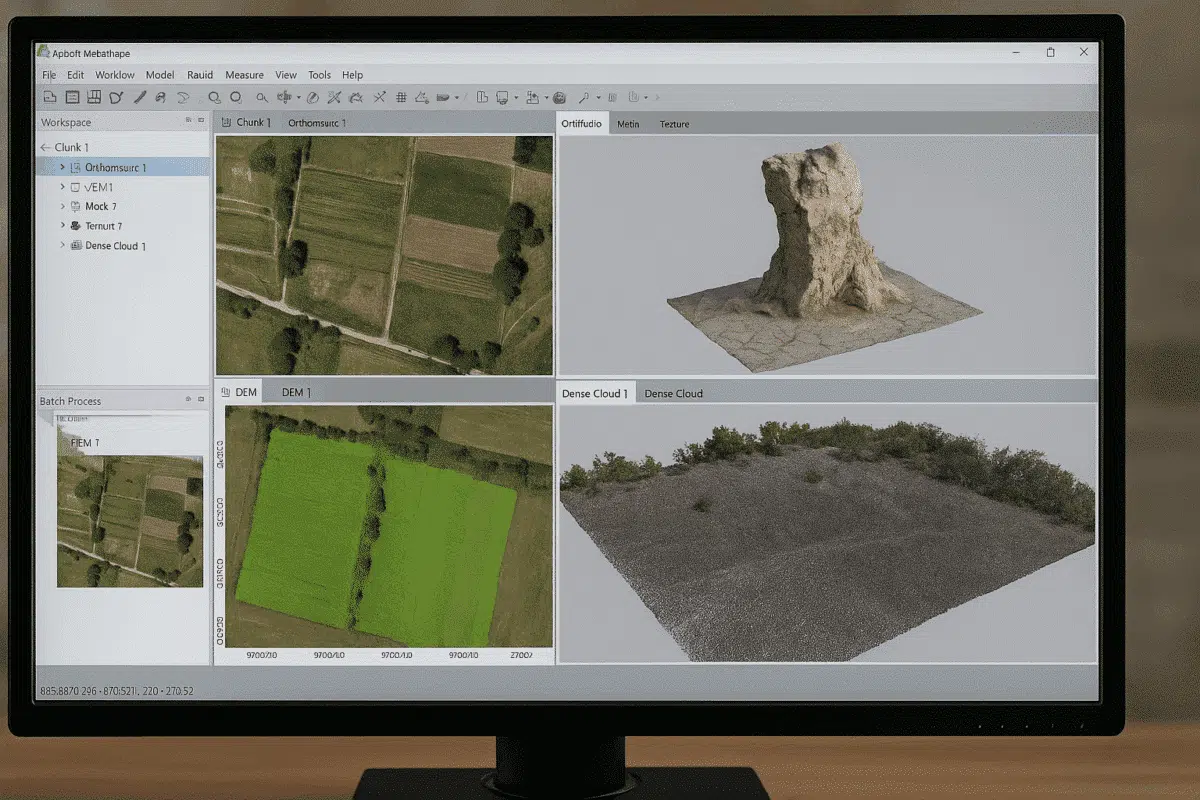
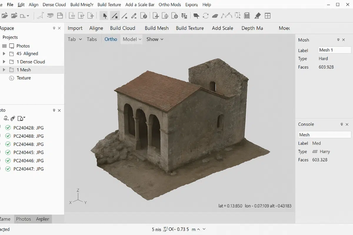
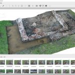
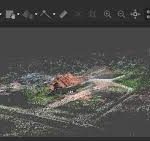
Agisoft Metashape adalah software photogrammetry profesional yang digunakan untuk mengubah foto (udara maupun terrestrial) menjadi model 3D, orthomosaic, point cloud, DSM, dan DTM dengan akurasi tinggi. Software ini banyak digunakan oleh profesional di bidang survei, geospasial, pertambangan, arkeologi, kehutanan, dan konstruksi.
Agisoft Metashape bekerja dengan metode Structure from Motion (SfM) dan Multi-View Stereo (MVS) untuk merekonstruksi objek atau area menjadi model 3D berbasis citra.
SPESIFIKASI
DOWNLOAD
Ingin melihat spesifikasi lebih detail?
Unduh file PDF spesifikasi lengkap melalui tautan di bawah.
Pertanyaan Umum
Agisoft Metashape adalah software photogrammetry profesional untuk mengolah foto menjadi model 3D, orthomosaic, DSM, DTM, dan point cloud dengan akurasi tinggi.
Digunakan untuk:
- Survey & mapping topografi
- Perhitungan volume stockpile
- Monitoring progres proyek
- Dokumentasi 3D
- Arkeologi & heritage
- Pertanian & kehutanan
Metashape mendukung:
- Foto drone (RGB)
- Kamera DSLR / mirrorless
- Kamera handheld
- Kamera multispektral
Ya. Metashape mendukung:
- Input koordinat RTK/PPK
- Import GCP (Ground Control Point)
- Analisis error & laporan akurasi
- Orthomosaic (GeoTIFF)
- DSM / DTM
- Dense point cloud (LAS/LAZ)
- Model 3D (OBJ, FBX, dll)
- Kontur
Masih ragu memilih produk yang tepat?
Hubungi kami hari ini untuk konsultasi gratis dan solusi terbaik.
Konsultasi Gratis