


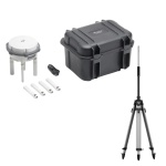
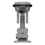
DJI D-RTK 3 Multifunctional Station
- Maximised Precision, Enhanced Range
- Providing centimetre-level GNSS positioning for multiple drones
Ready to start your project?
Contact us today for a free consultation and the best solution.
Description
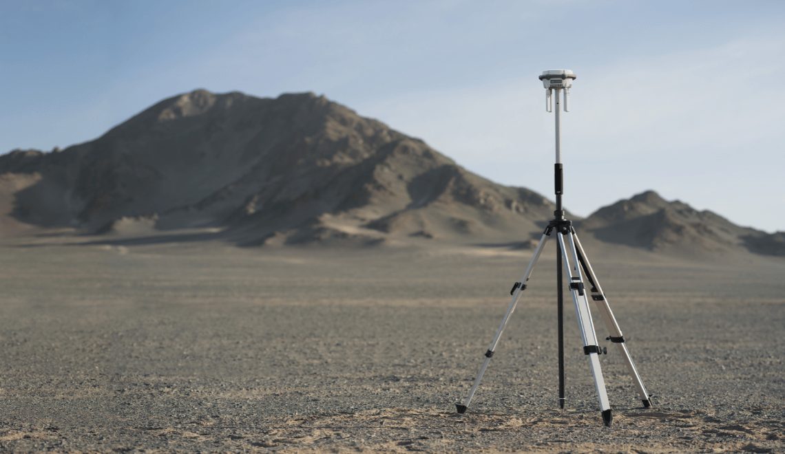
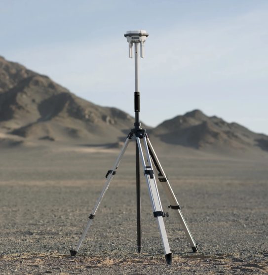
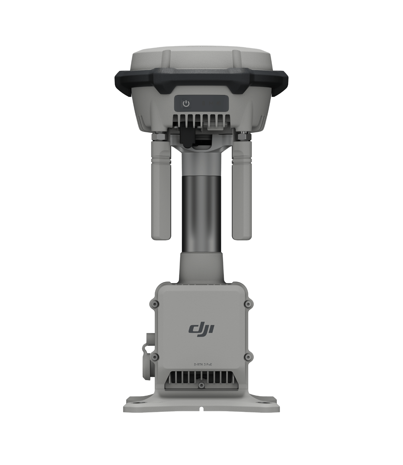
DJI D-RTK 3 is a device GNSS base station multifungsi yang dirancang untuk memberikan posisi berpresisi tinggi (centimeter-level) pada drone DJI serta memperluas jangkauan komunikasi dalam operasi lapangan. Perangkat ini menjadi komponen penting dalam workflow survei, mapping, dan inspeksi berbasis drone.
D-RTK 3 berfungsi sebagai sistem referensi posisi yang mengoreksi data GNSS dari drone secara real-time (RTK) atau pasca-proses (PPK). Selain itu, perangkat ini juga dapat digunakan sebagai relay station untuk memperluas jangkauan sinyal drone.
SPECIFICATION
DOWNLOAD
Want to see more detailed specifications?
Download the full specifications PDF file via the link below.
General Questions
DJI D-RTK 3 adalah GNSS base station multifungsi yang digunakan untuk memberikan koreksi posisi berpresisi tinggi (RTK/PPK) pada drone DJI serta mendukung pengukuran titik di lapangan.
-
Memberikan koreksi RTK ke drone
-
Digunakan sebagai rover untuk pengukuran GCP
-
Berfungsi sebagai relay untuk memperluas jangkauan komunikasi
D-RTK 3 memiliki beberapa mode:
-
Base Station Mode → untuk koreksi RTK
-
Rover Mode → untuk pengukuran titik (GCP/check point)
-
Relay Mode → untuk memperluas jangkauan sinyal
Ya. Mendukung:
-
RTK (Real-Time Kinematic) untuk koreksi langsung
-
PPK (Post-Processing Kinematic) untuk pengolahan data setelah flight
Still unsure about choosing the right product?
Contact us today for a free consultation and the best solution.
Free Consultation


