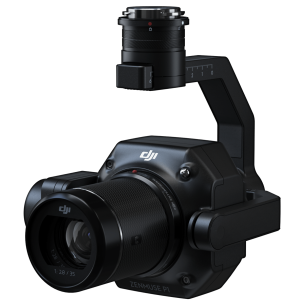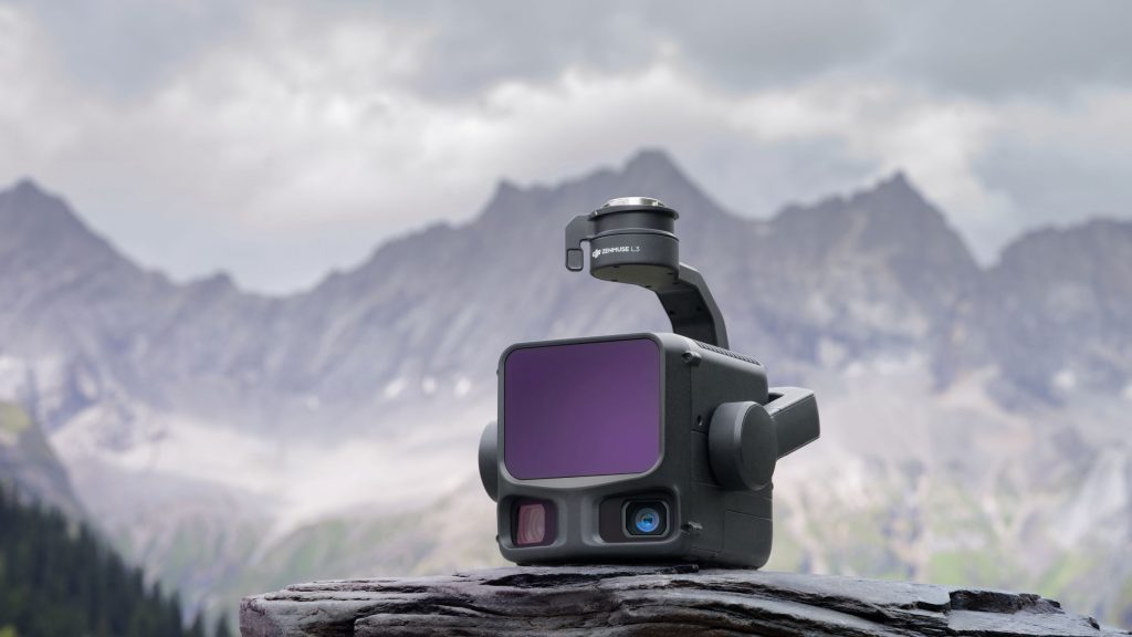
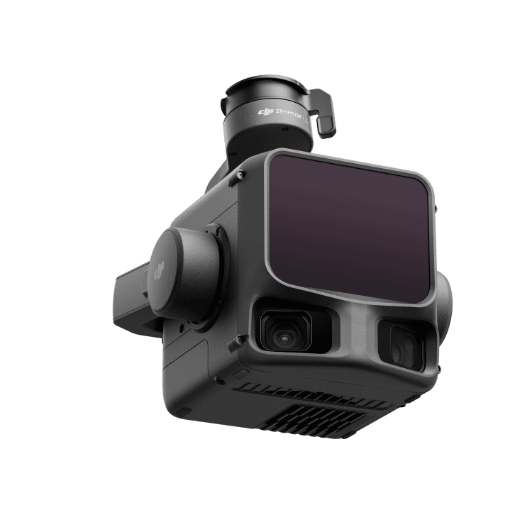

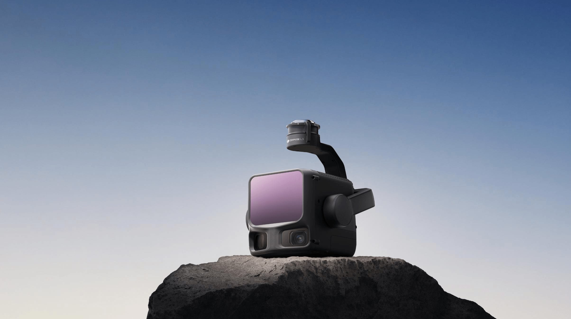


DJI Zenmuse L3
- See Through, Far and True
- DJI's next-generation high-accuracy aerial LiDAR system
Ready to start your project?
Contact us today for a free consultation and the best solution.
Description
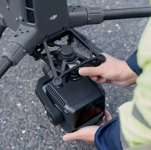
DJI Zenmuse L3 adalah payload LiDAR (Light Detection and Ranging) generasi terbaru dari DJI yang dirancang untuk pemetaan udara (aerial mapping) dan survei geospasial berpresisi tinggi. Perangkat ini menggabungkan sensor LiDAR jarak jauh, kamera RGB resolusi tinggi, dan sistem positioning presisi dalam satu unit terintegrasi.
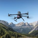
Dirancang khusus untuk digunakan pada drone seperti DJI Matrice 400, Zenmuse L3 sangat cocok untuk proyek skala besar dan kompleks.
SPECIFICATION
DOWNLOAD
Want to see more detailed specifications?
Download the full specifications PDF file via the link below.
General Questions
DJI Zenmuse L3 adalah payload LiDAR (Light Detection and Ranging) untuk drone enterprise yang digunakan untuk pemetaan topografi, survei geospasial, dan pembuatan model 3D berpresisi tinggi.
-
Jangkauan LiDAR lebih jauh
-
Akurasi tinggi (survey-grade)
-
Point cloud sangat rapat
-
Integrasi kamera RGB resolusi tinggi
-
Efisiensi mapping area luas
LiDAR bekerja dengan memancarkan sinar laser ke permukaan dan mengukur waktu pantulannya untuk menentukan jarak, sehingga menghasilkan data point cloud 3D.
Ya. Dengan kemampuan multi-return, Zenmuse L3 dapat:
-
Menembus vegetasi
-
Menangkap ground point di bawah canopy
-
Cocok untuk pemetaan hutan & perkebunan
Still unsure about choosing the right product?
Contact us today for a free consultation and the best solution.
Free Consultation