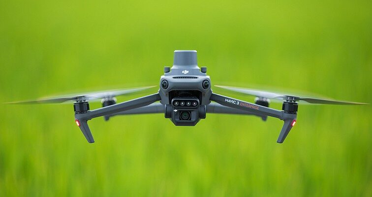
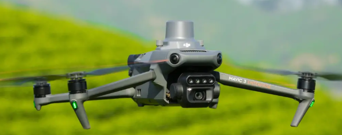
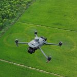
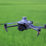
DJI Mavic 3 Multispectral
- See More, Work Smarter
- Effective aerial surveying needs to see the invisible
- Accurate Images that Capture Every Pixel
Ready to start your project?
Contact us today for a free consultation and the best solution.
Description
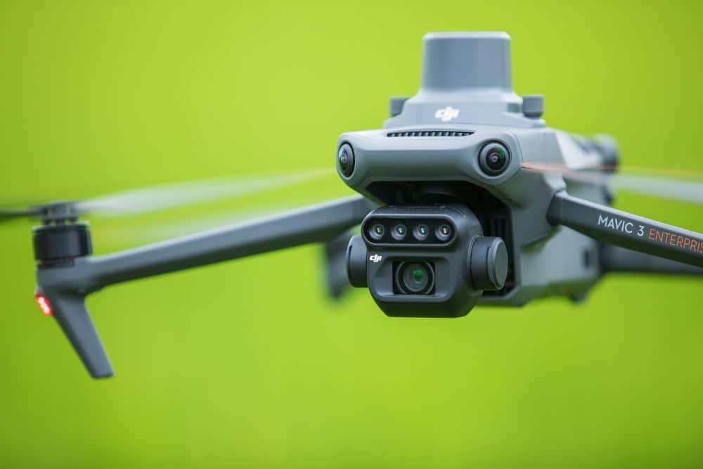
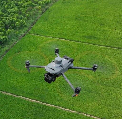
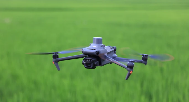
DJI Mavic 3 Multispectral (Mavic 3M) adalah drone enterprise yang dirancang khusus untuk pertanian presisi (precision agriculture) dan analisis vegetasi berbasis data multispektral. Drone ini menggabungkan kamera RGB resolusi tinggi dengan sensor multispektral untuk menghasilkan informasi yang tidak terlihat oleh mata manusia.
DJI Mavic 3 Multispectral merupakan solusi aerial yang memungkinkan pengguna untuk Menganalisis kesehatan tanaman, Mengidentifikasi stres tanaman lebih awal, Mengoptimalkan penggunaan pupuk dan irigasi, Melakukan pemetaan lahan berbasis data ilmiah.
SPECIFICATION
DOWNLOAD
Want to see more detailed specifications?
Download the full specifications PDF file via the link below.
General Questions
DJI Mavic 3 Multispectral adalah drone yang dirancang untuk analisis tanaman dan pertanian presisi menggunakan kombinasi kamera RGB dan multispektral.
Drone biasa hanya mengambil gambar visual (RGB), sedangkan Mavic 3 Multispectral mampu:
-
Mengambil data multispektral
-
Menghasilkan indeks vegetasi (seperti NDVI)
-
Mendeteksi kesehatan tanaman lebih awal
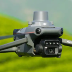
Kamera multispektral menangkap beberapa panjang gelombang cahaya (Green, Red, Red Edge, NIR) yang digunakan untuk analisis kondisi tanaman secara ilmiah.
NDVI (Normalized Difference Vegetation Index) adalah indeks yang digunakan untuk:
-
Menilai kesehatan tanaman
-
Mendeteksi stres tanaman
-
Membantu pengambilan keputusan agrikultur
Still unsure about choosing the right product?
Contact us today for a free consultation and the best solution.
Free Consultation


