
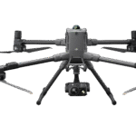
DJI Matrice 400
- Terbaru dari DJI
- Engineered for Excellence, Designed for Versatility
Ready to start your project?
Contact us today for a free consultation and the best solution.
Description
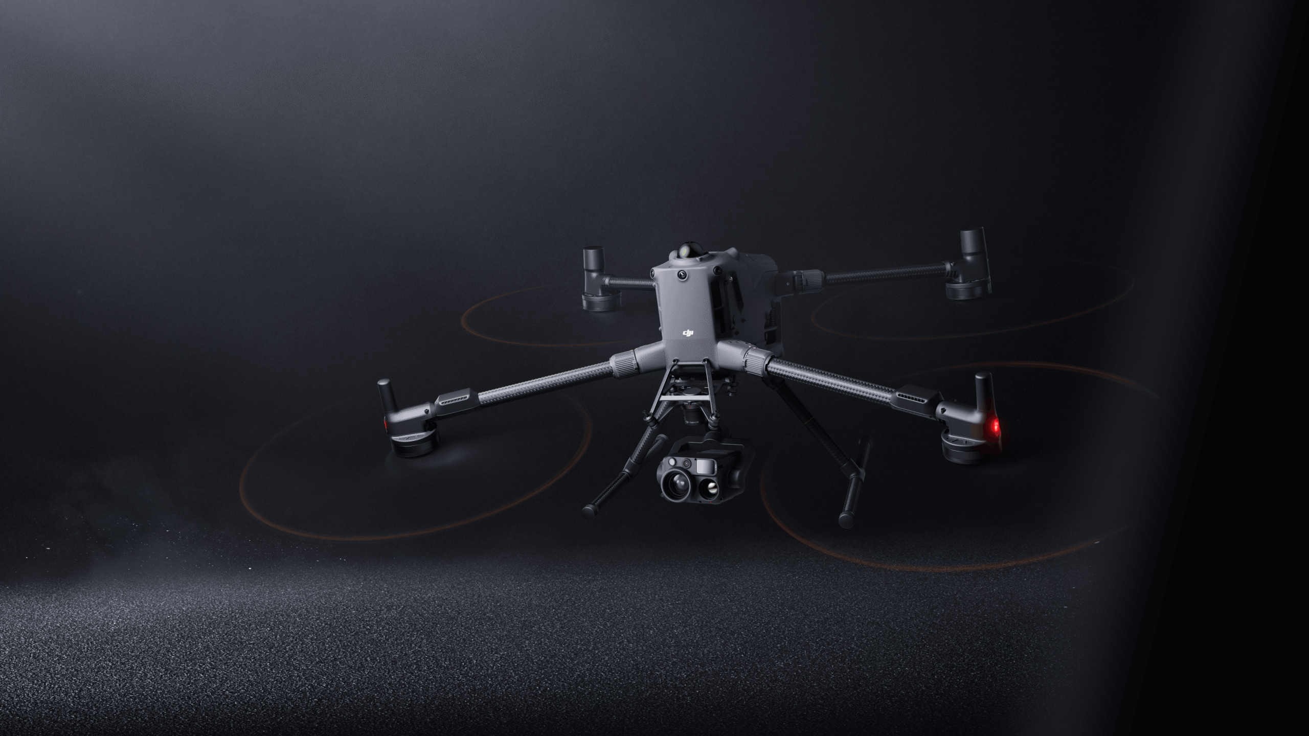
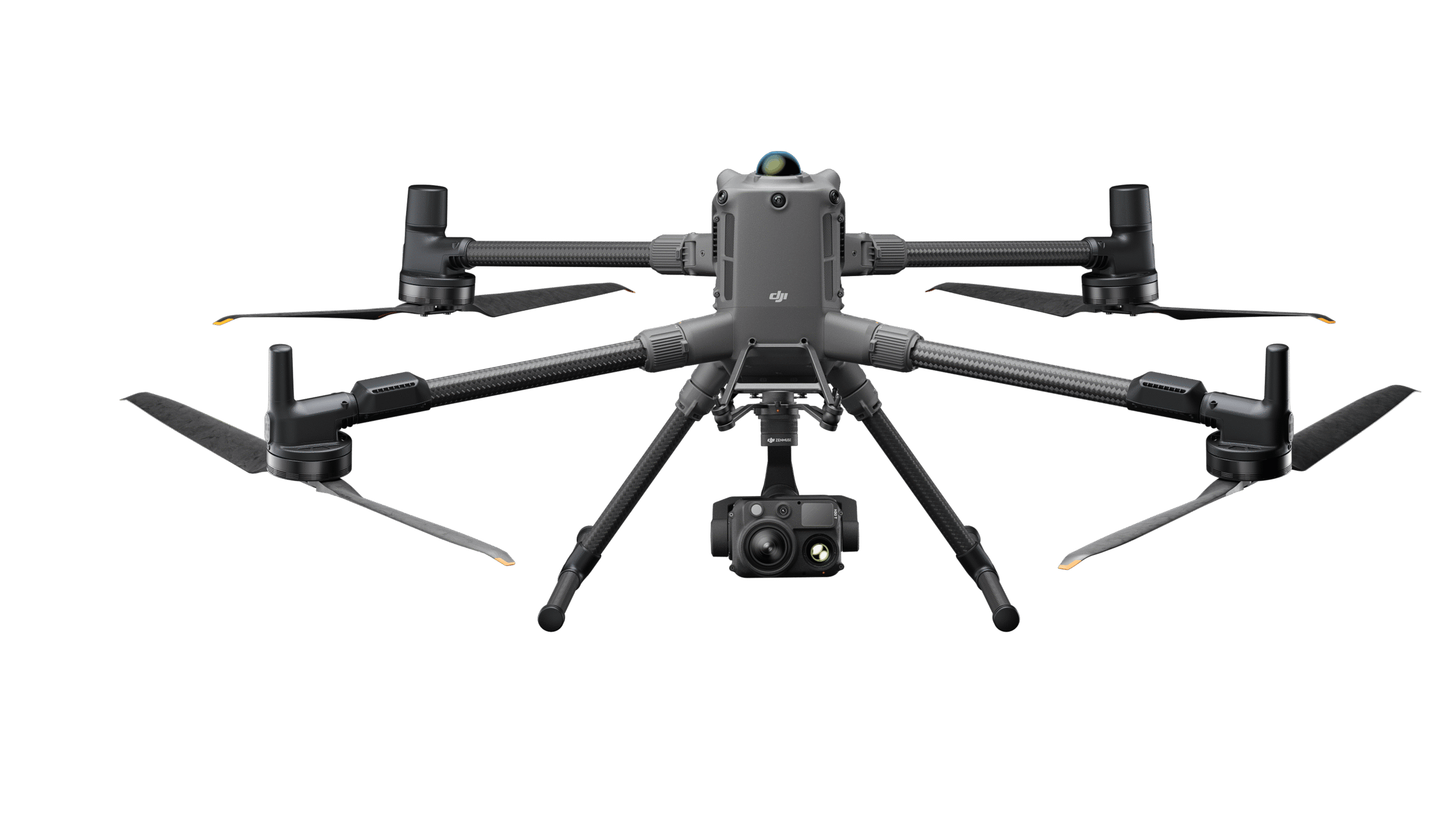
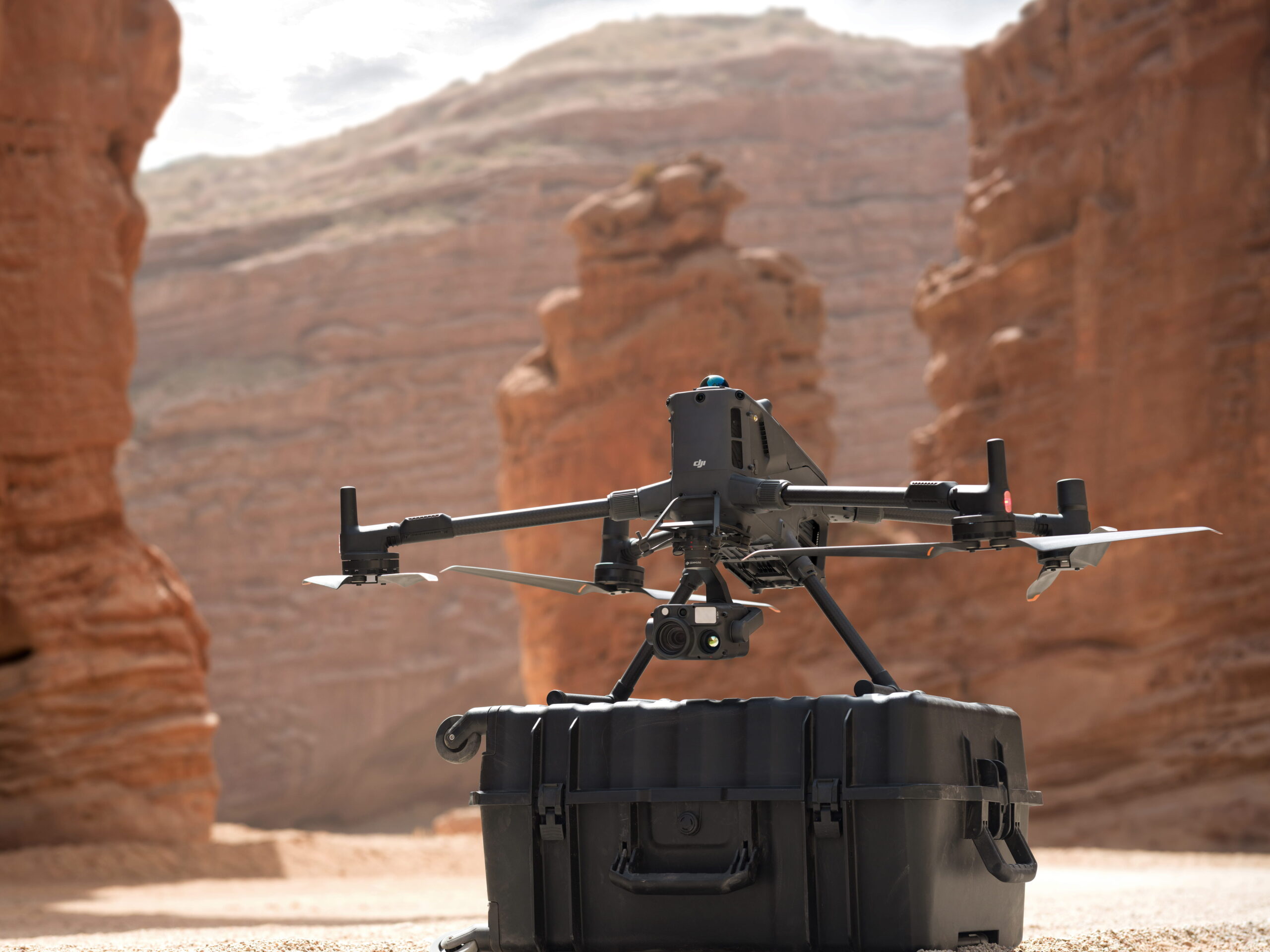
DJI Matrice 400 adalah drone enterprise terbaru dari DJI yang dirancang untuk kebutuhan industri seperti pemetaan, inspeksi infrastruktur, konstruksi, hingga keamanan. Drone ini menawarkan daya tahan terbang yang lebih lama, sistem navigasi presisi tinggi, serta kompatibilitas dengan berbagai payload profesional seperti kamera resolusi tinggi dan sensor LiDAR.
Dengan desain kokoh dan teknologi flight control canggih, DJI Matrice 400 mampu beroperasi stabil di berbagai kondisi lingkungan, menjadikannya solusi andal untuk pekerjaan survei dan pengumpulan data skala besar.
SPECIFICATION
DOWNLOAD
Want to see more detailed specifications?
Download the full specifications PDF file via the link below.
General Questions
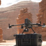
DJI Matrice 400 adalah drone enterprise kelas heavy-duty yang dirancang untuk misi industri, inspeksi, pemetaan, dan operasi kompleks dengan payload besar dan durasi terbang yang lebih panjang.
-
Payload besar (multi-sensor support)
-
Stabil untuk kondisi angin dan cuaca berat
-
Flight time lebih lama dibanding seri sebelumnya
-
Sistem navigasi dan obstacle avoidance canggih
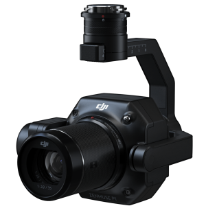
Drone ini mendukung berbagai payload seperti:
-
Kamera RGB resolusi tinggi
-
Kamera thermal
-
LiDAR
-
Multispectral
-
Zoom camera
Flight time tergantung payload dan kondisi, namun dirancang untuk durasi panjang (long endurance mission) dibanding drone enterprise standar.
Still unsure about choosing the right product?
Contact us today for a free consultation and the best solution.
Free Consultation