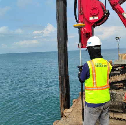
Topographic surveying is a technical mapping process that records three-dimensional land contours and features as the foundation for accurate project planning. We utilize GNSS geodetic technology, total stations, robotic total stations, and waterpasses.
Project
- Wellhead point determination
- Monitoring Tunnel
- Construction of BM Construction Point
- Determination of offshore drilling points