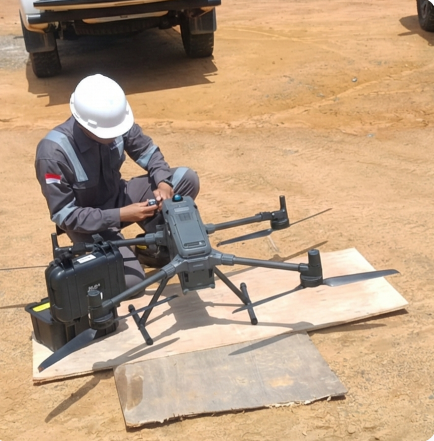
Our Drone LiDAR technology utilizes active laser sensors capable of penetrating dense vegetation to generate high-precision 3D topographic models, offering a much more efficient and accurate mapping solution. The results can include 3D point clouds, contours, DTMs, orthophotos, situation maps, and 3D situation models.
Project
- Mining Site Road
- Plantation
- Construction
- Monitoring Tunnel
- Gas and Oil Pipelines
- Wellsite Area