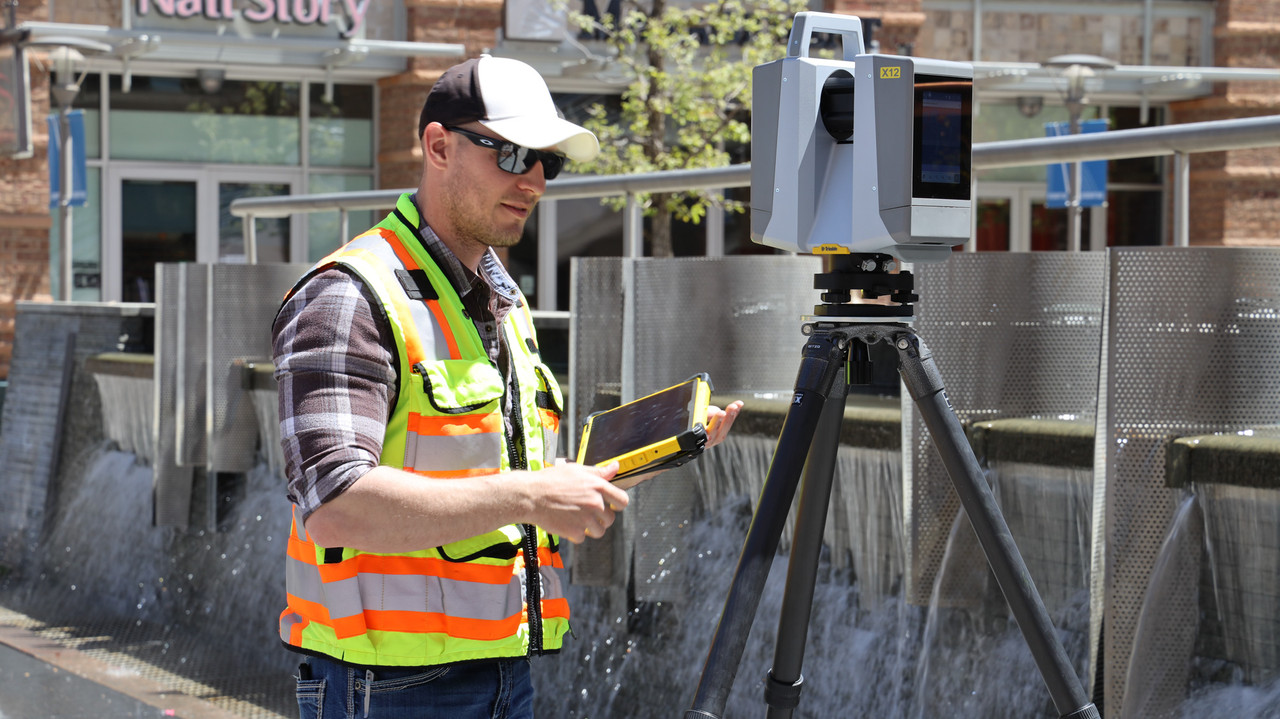
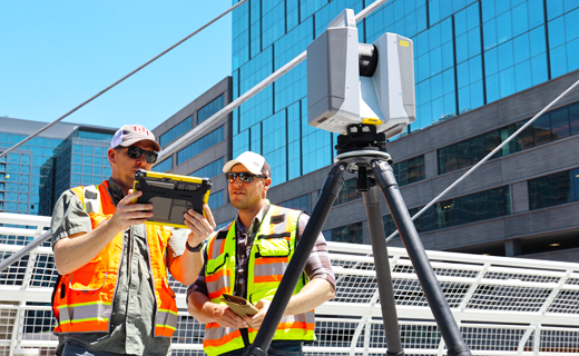


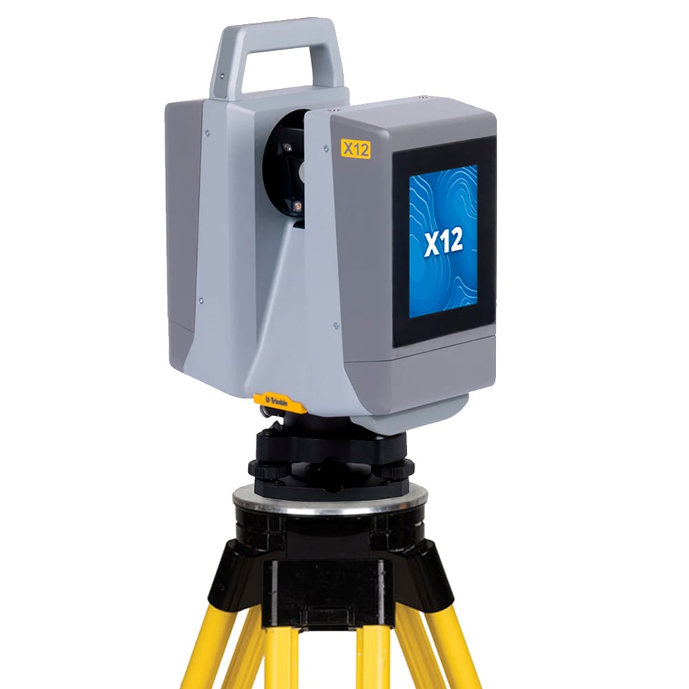
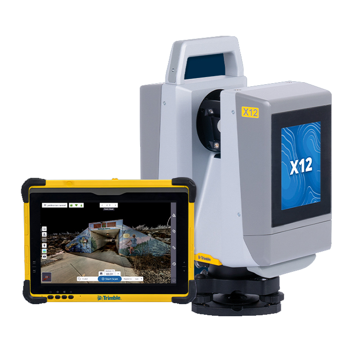
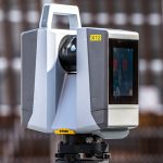
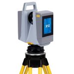

Trimble X12 Laser Scanner
- Efektiv jarak sampai 250 m
- IP54 yang tangguh dan Garansi Standar 2 tahun
Ready to start your project?
Contact us today for a free consultation and the best solution.
Description
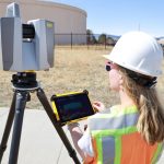
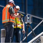
Trimble X12 adalah generasi terbaru dari seri laser scanner terrestrial profesional Trimble yang dirancang untuk menangkap data 3D berkualitas tinggi dengan kecepatan scanning unggul, akurasi yang dapat diandalkan, dan workflow yang mudah. Scanner ini dibangun untuk memenuhi kebutuhan aplikasi survei, pemetaan, inspeksi infrastruktur, digital twin, dan proyek BIM tingkat lanjut.
SPECIFICATION
DOWNLOAD
Want to see more detailed specifications?
Download the full specifications PDF file via the link below.
General Questions
Trimble X12 adalah terrestrial laser scanner (TLS) berperforma tinggi yang dirancang untuk menghasilkan point cloud 3D dengan kecepatan tinggi dan akurasi engineering-grade untuk berbagai aplikasi konstruksi, BIM, dan inspeksi infrastruktur.
- Kecepatan scanning lebih tinggi
- Kualitas point cloud lebih detail
- Workflow lebih cepat & otomatis
- Visualisasi realistis dengan teknologi imaging canggih
- Optimal untuk proyek skala besar & kompleks
Trimble X12 memiliki jangkauan scanning hingga ±150 meter (tergantung kondisi target dan reflektivitas permukaan), sehingga cocok untuk indoor maupun outdoor scanning.
X12 dirancang untuk memberikan akurasi milimeter-level, menjadikannya ideal untuk pekerjaan presisi seperti as-built survey, kontrol deformasi, dan verifikasi konstruksi.
Ya. X12 sangat cocok untuk workflow BIM karena:
-
Point cloud resolusi tinggi
-
Integrasi dengan Trimble RealWorks & Trimble Business Center
-
Ekspor data ke format standar seperti .e57 dan .las
Still unsure about choosing the right product?
Contact us today for a free consultation and the best solution.
Free Consultation