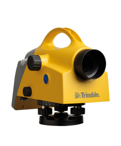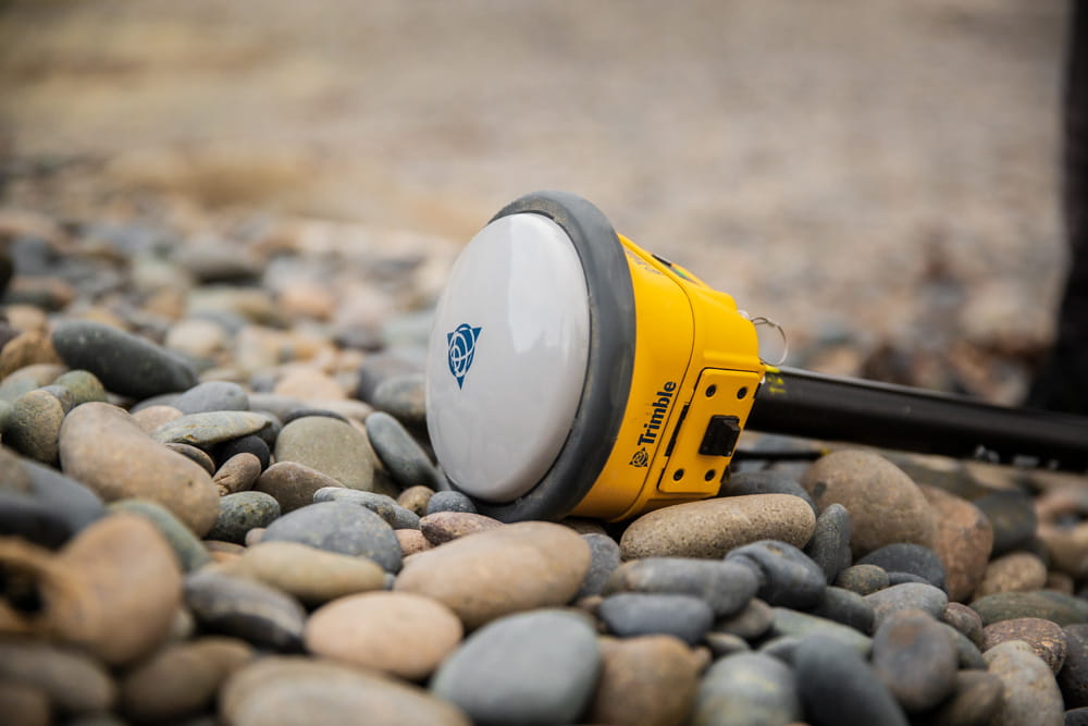
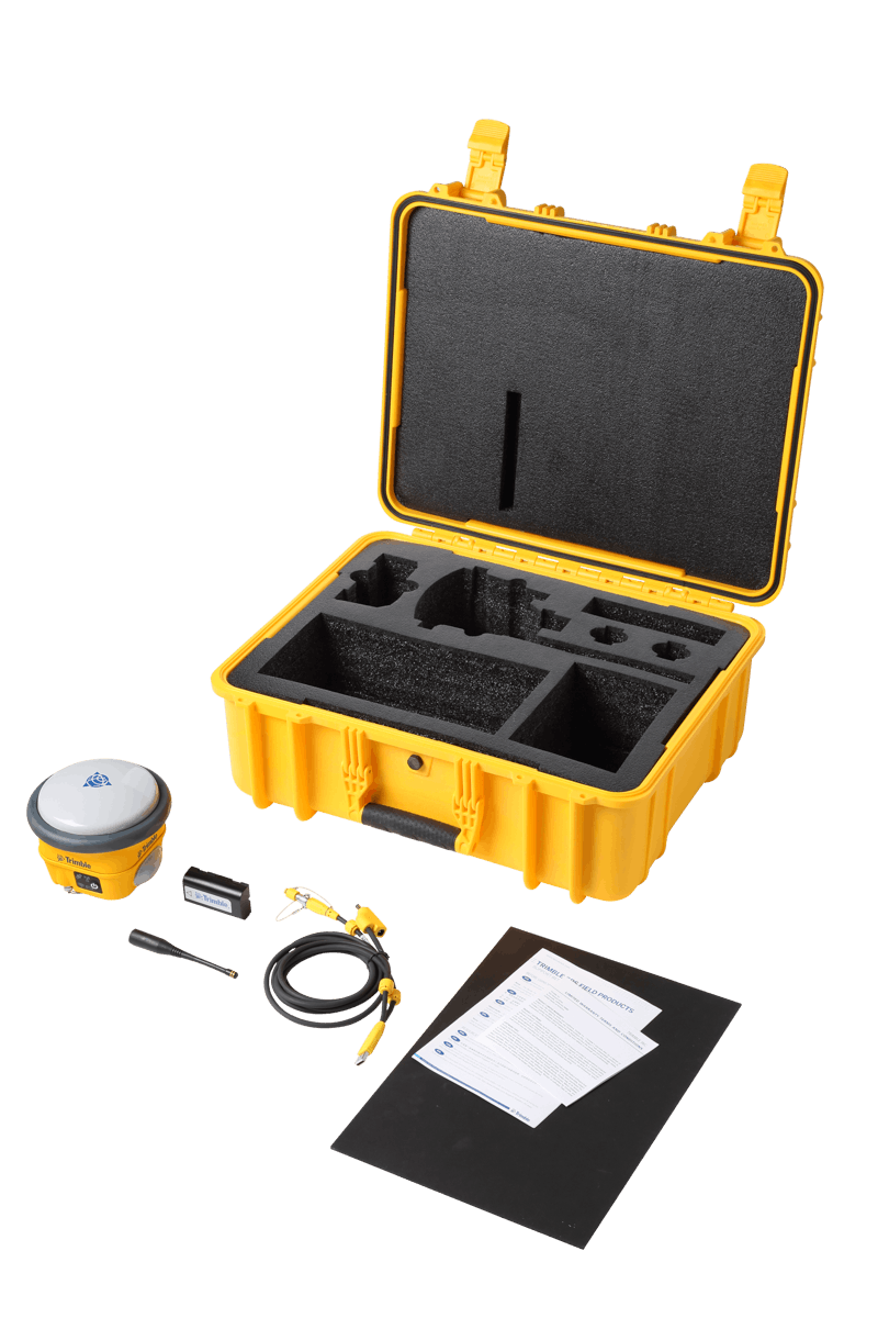

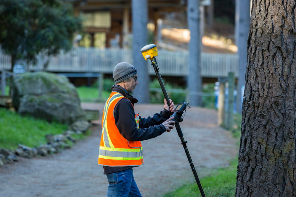
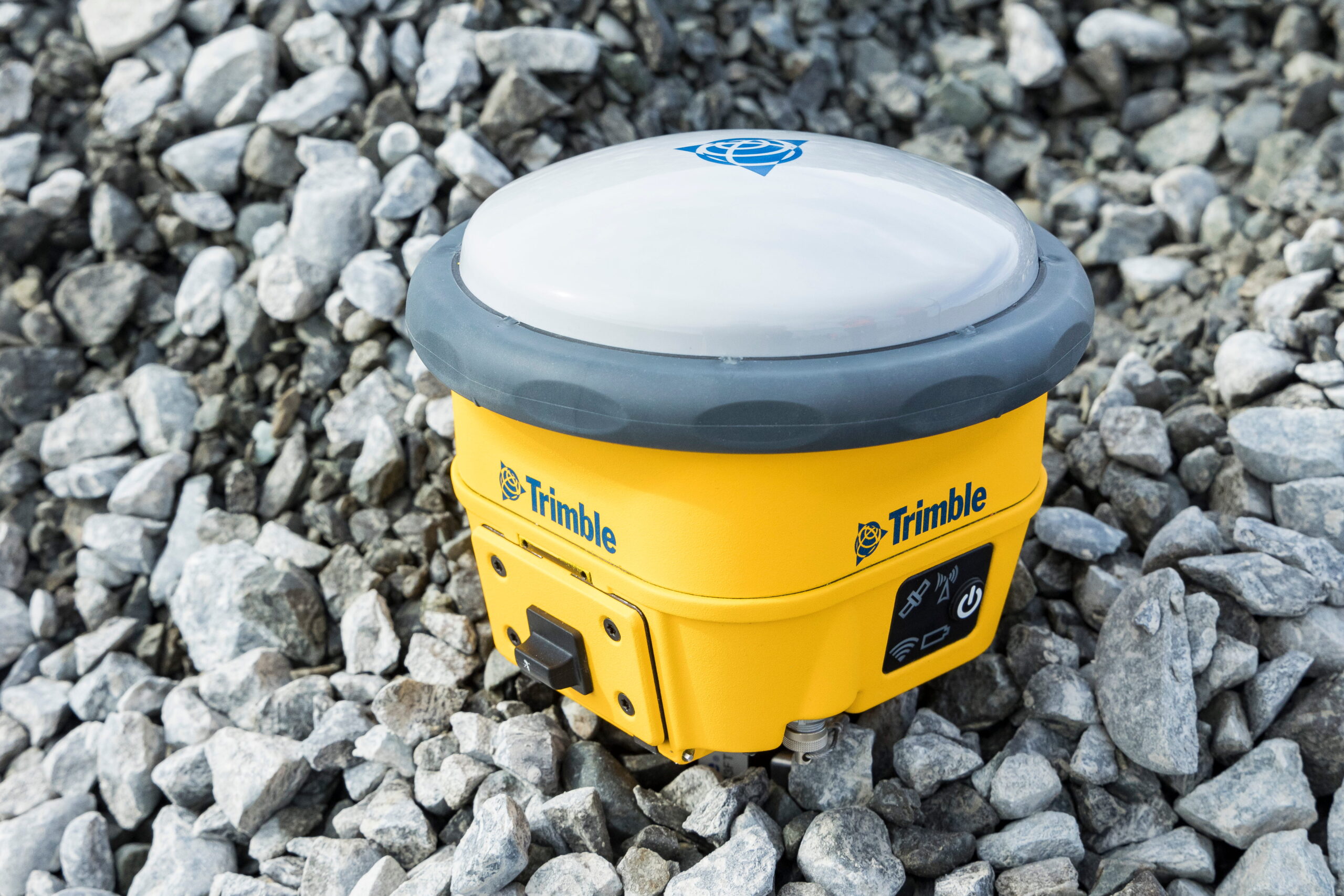
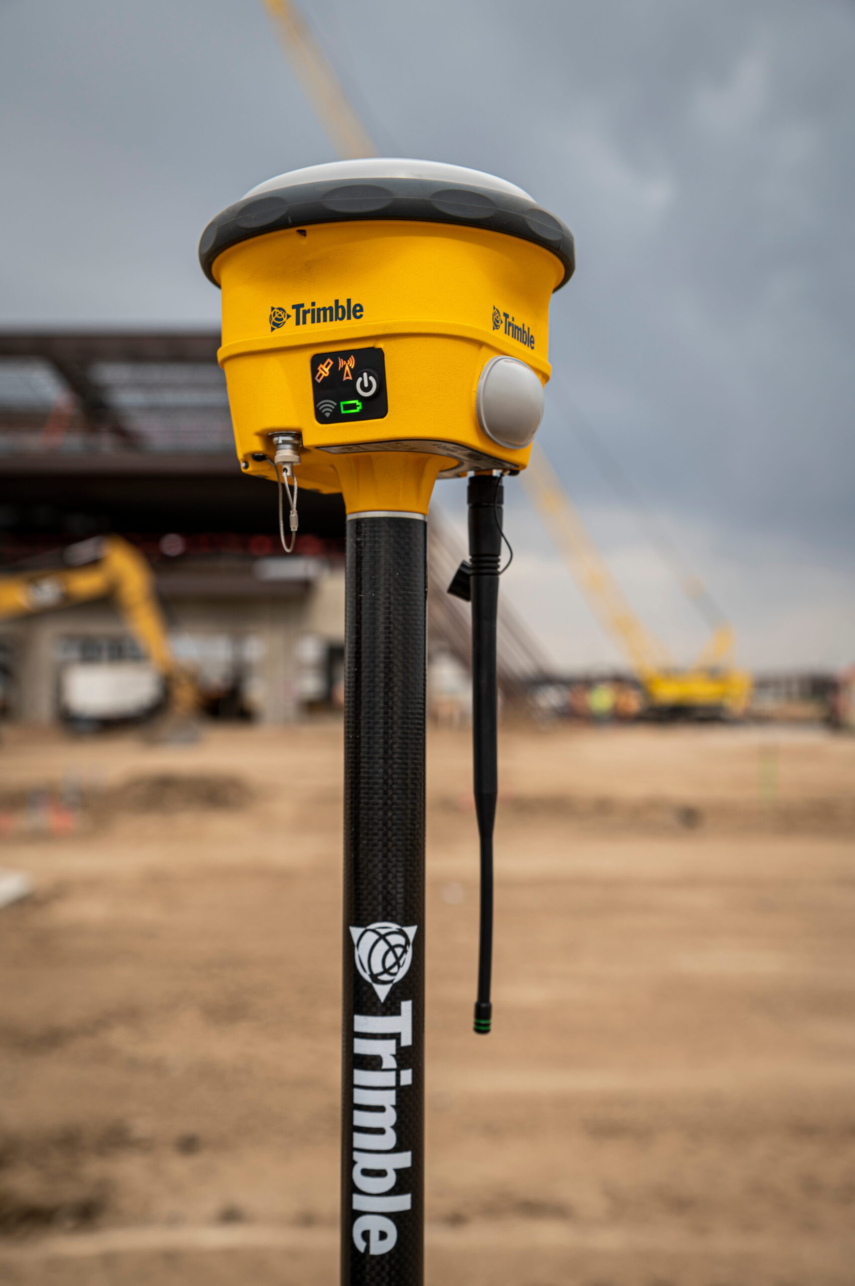


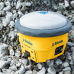


Trimble R780
- GNSS mutakhir untuk akurasi tinggi
- IP 68 Military Grade
Ready to start your project?
Contact us today for a free consultation and the best solution.
Description
The Trimble R780 is an integrated GNSS receiver designed for highly flexible surveying and mapping applications. It supports multiple operating modes (Base/Rover), features a state-of-the-art GNSS engine for high accuracy, comprehensive connectivity (UHF radio, Bluetooth, Wi-Fi), and features to enhance field productivity such as xFill, CenterPoint RTX, and signal interference mitigation.
SPECIFICATION
DOWNLOAD
Want to see more detailed specifications?
Download the full specifications PDF file via the link below.
General Questions
• Trimble R780 - 2 memiliki IP68, sedangkan R980 memiliki IP67
• Trimble R780 - 2 tidak memiliki modem seluler, sedangkan R980
memiliki modem seluler 4G LTE.
• Trimble R780 jumlah channelnya 336, sedangkan R780 - 2
jumlah channelnya 672
• Trimble R780 hanya memiliki radio UHF 450 MHz, sedangkan Trimble R780 - 2 memiliki
radio 450 dan 900 MHz yang dapat dikontrol dan diubah oleh pengguna (hanya tersedia di
wilayah yang mengizinkan radio 900 MHz, seperti: Amerika Serikat, Australia, Kanada, dan
Selandia Baru).
Ya, R780 sudah dilengkapi dengan Trimble IonoGuard
Ya, R780 - 2 dilengkapi dengan langganan layanan koreksi Trimble CenterPoint RTX selama 12
bulan yang disertakan dan diaktifkan pada saat pembelian. Jika layanan Trimble RTX expired dapat
dilakukan perpanjangan langganan layanan RTX.
R780 dapat digunakan pada semua versi Trimble Access dari 2022.01 atau yang lebih baru,
sedangkan R780 - 2 dapat digunakan pada semua versi Trimble Access dari 2024.00 atau yang
lebih baru
Still unsure about choosing the right product?
Contact us today for a free consultation and the best solution.
Free Consultation