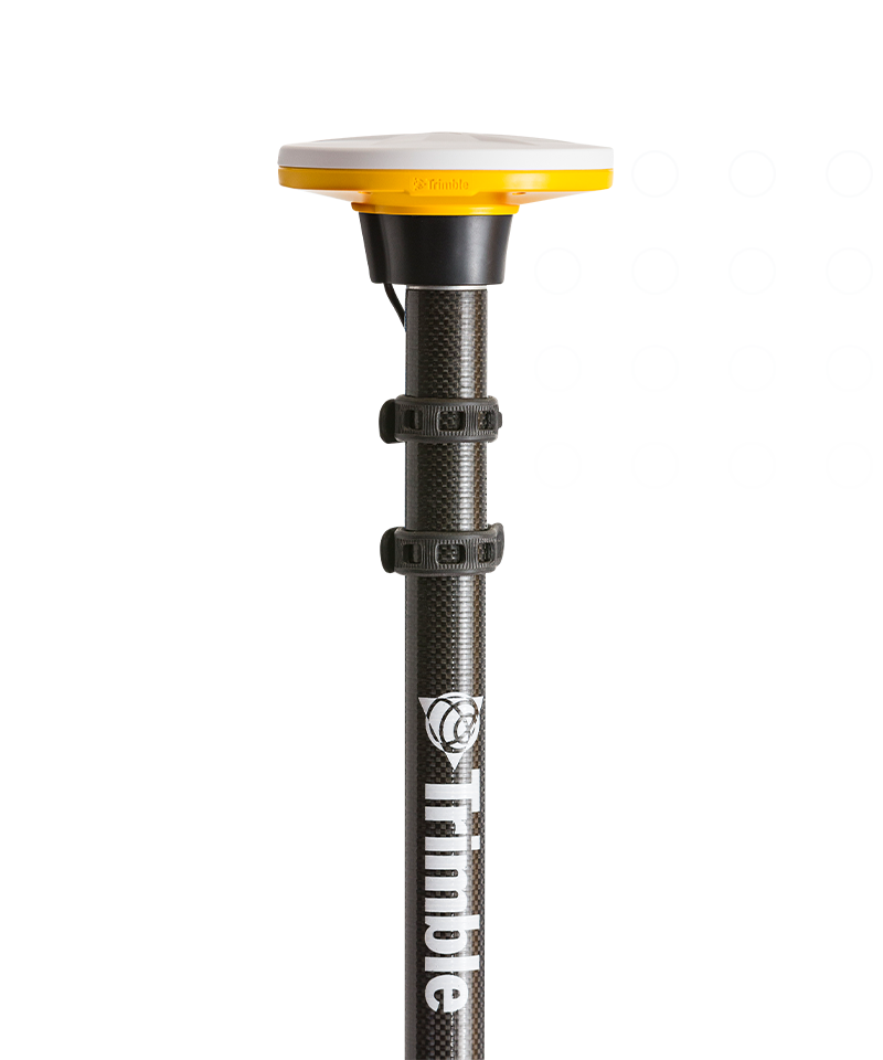
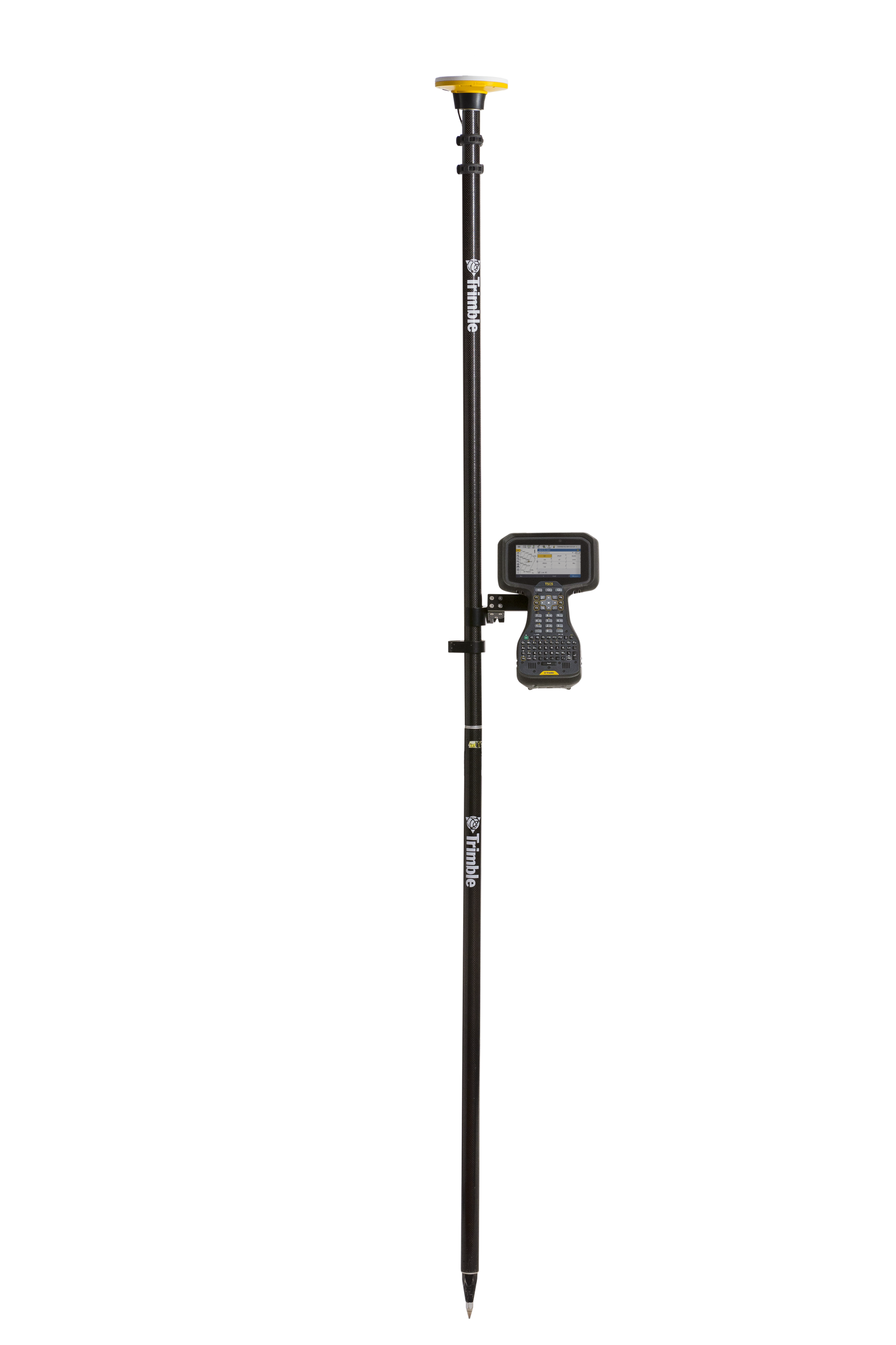
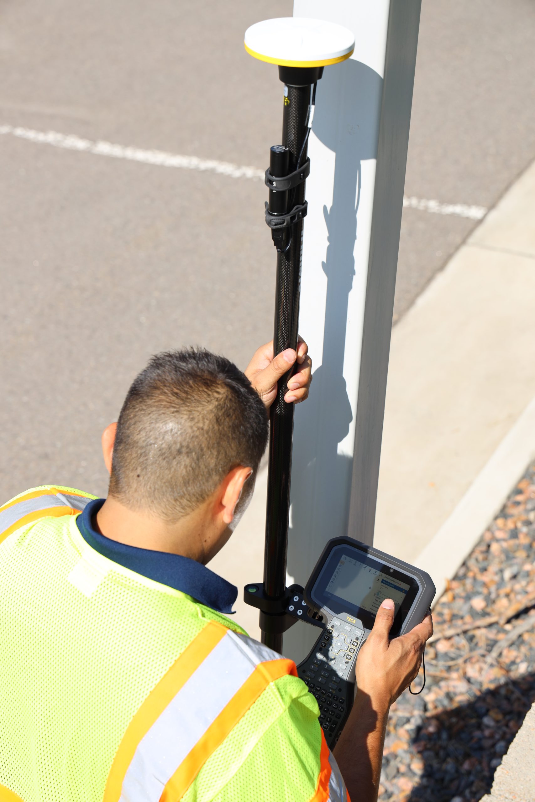
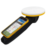

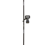
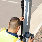
Trimble Catalyst DA2
- GNSS Handheld Mapping
- Rover only
Ready to start your project?
Contact us today for a free consultation and the best solution.
Description
Trimble DA2 adalah GNSS receiver portabel berteknologi tinggi yang bekerja bersama layanan Trimble Catalyst untuk memberikan posisi berkualitas survey dengan akurasi dari centimeter hingga sub-meter pada perangkat Android dan iOS melalui Bluetooth. Receiver ini ringan, compact, dan cocok untuk aplikasi survei ringan, GIS, pemetaan, inspeksi, dan pengumpulan data lapangan dengan workflow smartphone/tablet.CenterPoint RTX, dan xFill. Cocok untuk survey presisi tinggi dan konstruksi skala besar.
SPECIFICATION
DOWNLOAD
Want to see more detailed specifications?
Download the full specifications PDF file via the link below.
General Questions
Trimble Catalyst adalah layanan Trimble yang menyediakan posisi presisi melalui subscription. User dapat membeli receiver GNSS Catalyst dan mengaktifkan layanan melalui subscription Catalyst sesuai kebutuhan project (dari tingkat presisi sentimeter hingga meter). Catalyst kompatibel dengan perangkat Android dan iOS.
Satelit tracking Catalyst DA2:
• GPS: L1C/A, L2C, L5
• GLONASS: L1C/A, L2C/A,
• SBAS: L1C/A, L2C, L5
• Galileo: E1, E5A
• BeiDou: B1, B1C, B2A
• NavIC (IRNSS): L5
• L-band: Trimble RTX Corrections
Trimble Catalyst tersedia dalam empat tingkat presisi berdasarkan subscription:
• Catalyst 60 (60 cm)
• Catalyst 30 (30 cm)
• Catalyst 10 (10 cm)
• Catalyst 1 (1 cm)
Tingkat akurasi tergantung subscription yang digunakan serta kondisi lingkungan dan metode
pengukuran.
Trimble Catalyst mendukung beberapa jenis koreksi diantara:
• Trimble RTX (IP dan SV)
• RTK NTRIP
Ya, Catalyst DA2 dapat digunakan tanpa adanya internet. Koreksi data yang dapat digunakan yaitu
RTX SV.
Still unsure about choosing the right product?
Contact us today for a free consultation and the best solution.
Free Consultation