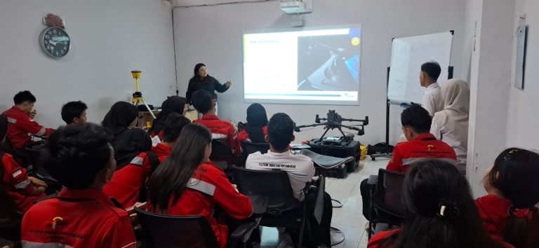
April 2026 – Today's energy sector transformation is no longer just about generating capacity or grid expansion. The biggest challenge lies in how data is leveraged to generate precise, efficient, and sustainable decisions. This is the common thread that emerged in the GLIS Campus Connect – Geography Seminar Series 2 event held in collaboration with ITPLN on April 7, 2026, with the theme "From Data to Power: Energy Optimization Through Geospatial Technology."
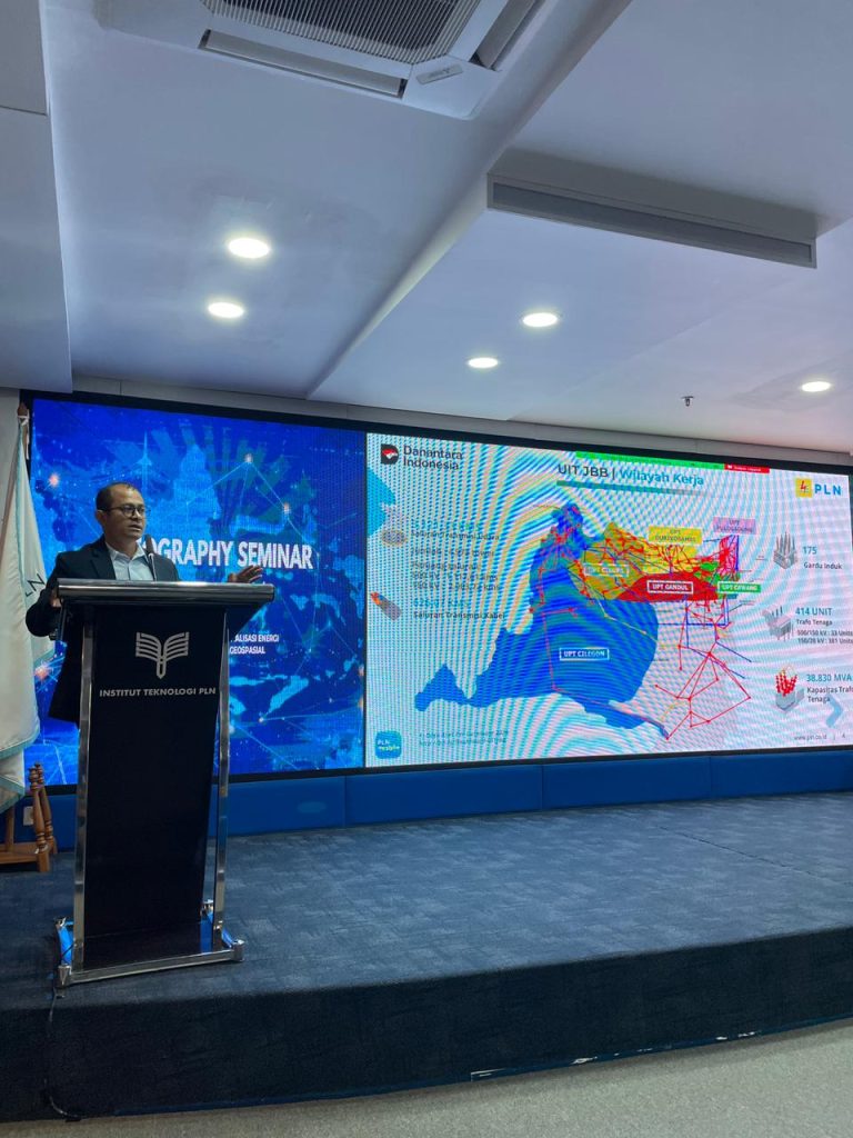
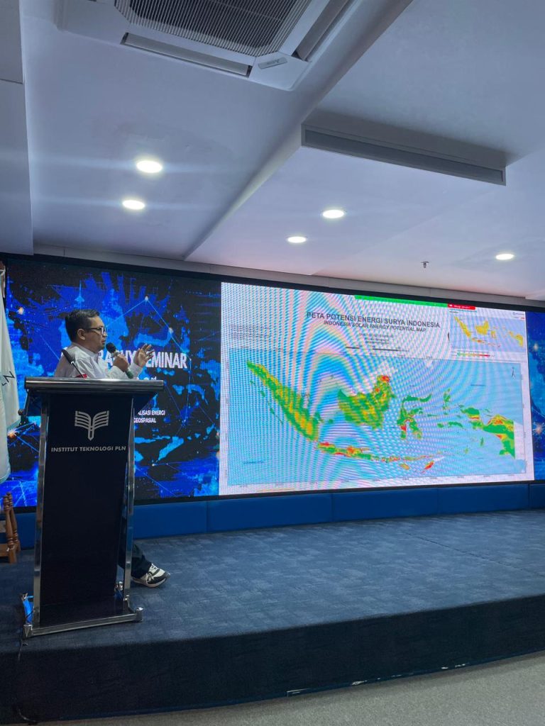
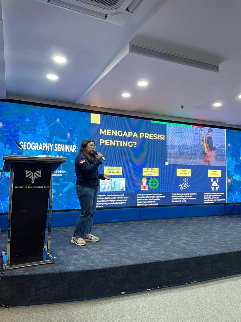
This seminar brought together the perspectives of regulators, researchers, industry practitioners, and academics in a constructive discussion space. Himmel Sihombing, General Manager of PLN UIT JBB, presented a strategic overview of how the implementation of geospatial technology supports the planning and development of electricity infrastructure. In his presentation, he conveyed that spatial data accuracy is now a critical foundation for determining transmission lines, substation planning, and optimizing network assets as a whole.
Furthermore, this transformation does not stand alone. The vision of achieving Net Zero Emissions demands the integration of data, operational efficiency, and the use of technologies such as Artificial Intelligence and the development of autonomous transmission substations. Digitalization is no longer an optional option, but a strategic necessity to maintain system reliability and accelerate the energy transition.
In terms of research and innovation, Bono Pranoto, a Senior Researcher at the National Research and Innovation Agency (BRIN), emphasized the importance of synergy between research and field implementation. He believes geospatial technology holds significant potential to support the development of New and Renewable Energy, from potential location analysis and risk mapping to data-driven monitoring. Collaboration between research institutions and industry is key to ensuring innovation doesn't stop in the laboratory and has a real impact.
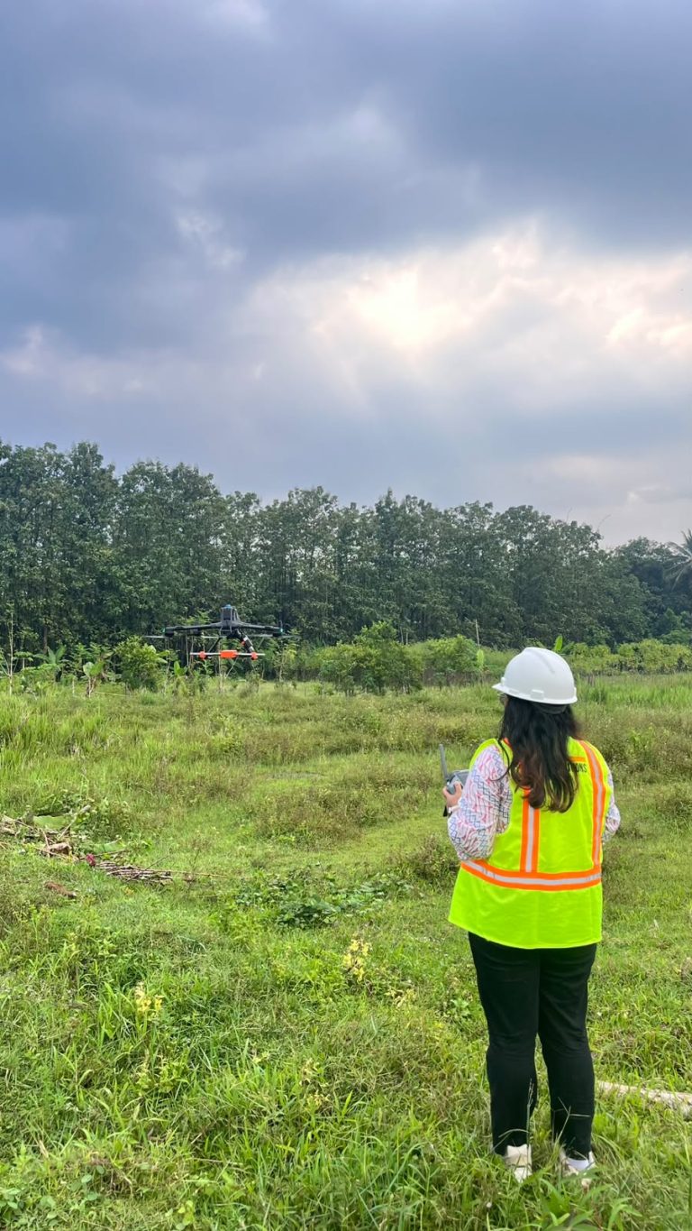
Meanwhile, Sondang Sihombing, an engineer at PT GPS Lands Indosolutions, shared practical experience on how geospatial solutions are applied to improve the efficiency of energy infrastructure planning and management. He emphasized that the technology's main strength lies not only in its hardware or software, but also in its ability to integrate various data sources into actionable information. With a spatial data-driven approach, the decision-making process becomes more measurable and transparent.
The remarks by ITPLN Rector, Prof. Dr. Ir. Iwa Garniwa, MK, MT, further strengthened the collaborative spirit of this event. He expressed his appreciation for the seminar and expressed his hope that similar events would continue to be held to strengthen the relationship between academics, industry practitioners, and state research institutions. The synergy between these three elements is considered crucial in building an innovation ecosystem that is relevant to national needs.
Through the ongoing discussions, one thing became clear: geospatial technology is no longer just a mapping tool. It has evolved into a strategic instrument in supporting adaptive, efficient, and sustainable energy planning. From planning to monitoring, from network development to renewable energy integration, all require precise data and integrated systems.
This seminar serves as a reminder that the future of energy is determined not only by its resources, but by the quality of data and our ability to transform it into power—into the right decisions, at the right time. When spatial data is optimally utilized, energy transformation is no longer just talk, but a concrete step toward a smarter and more sustainable electricity system.
Author Kholis Muhsin Lubis