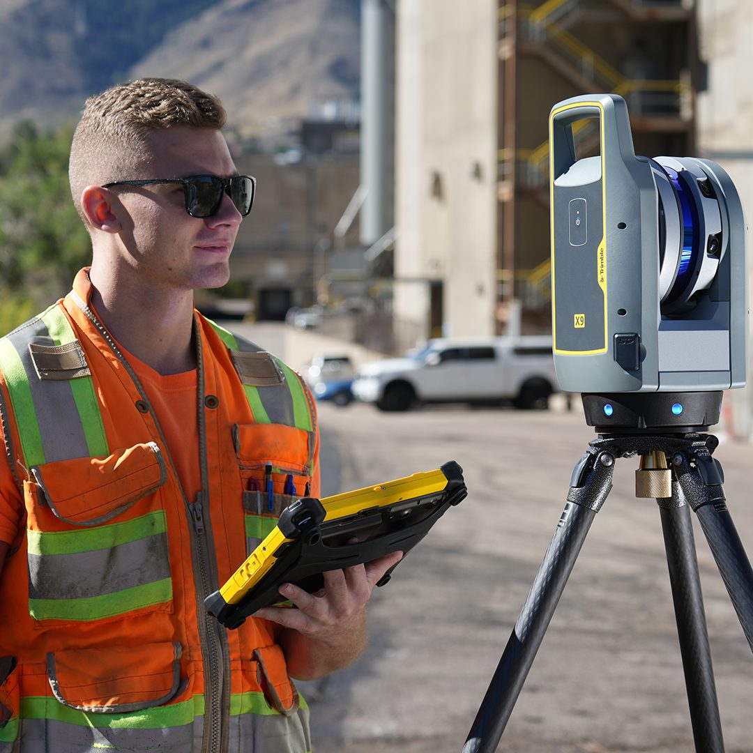
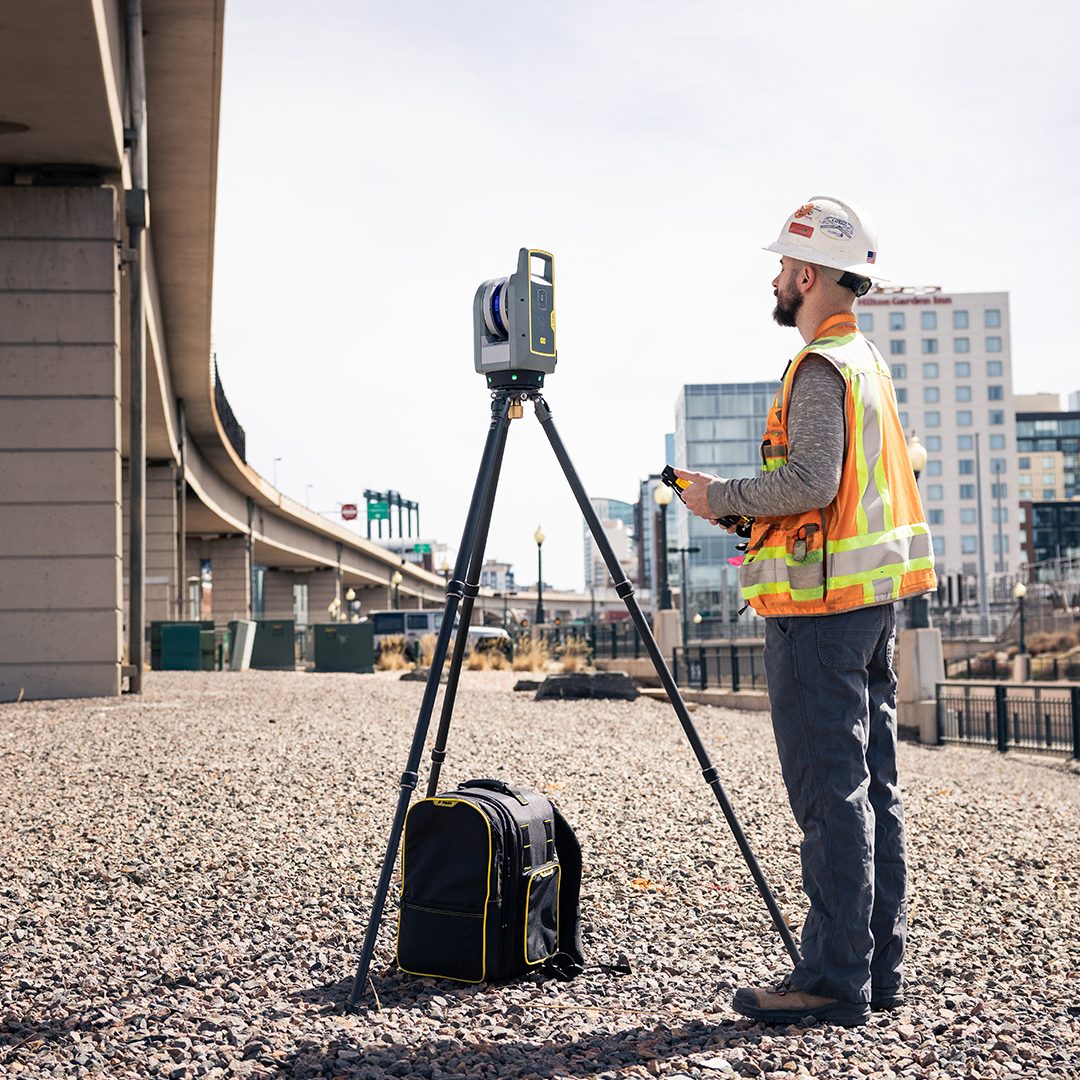
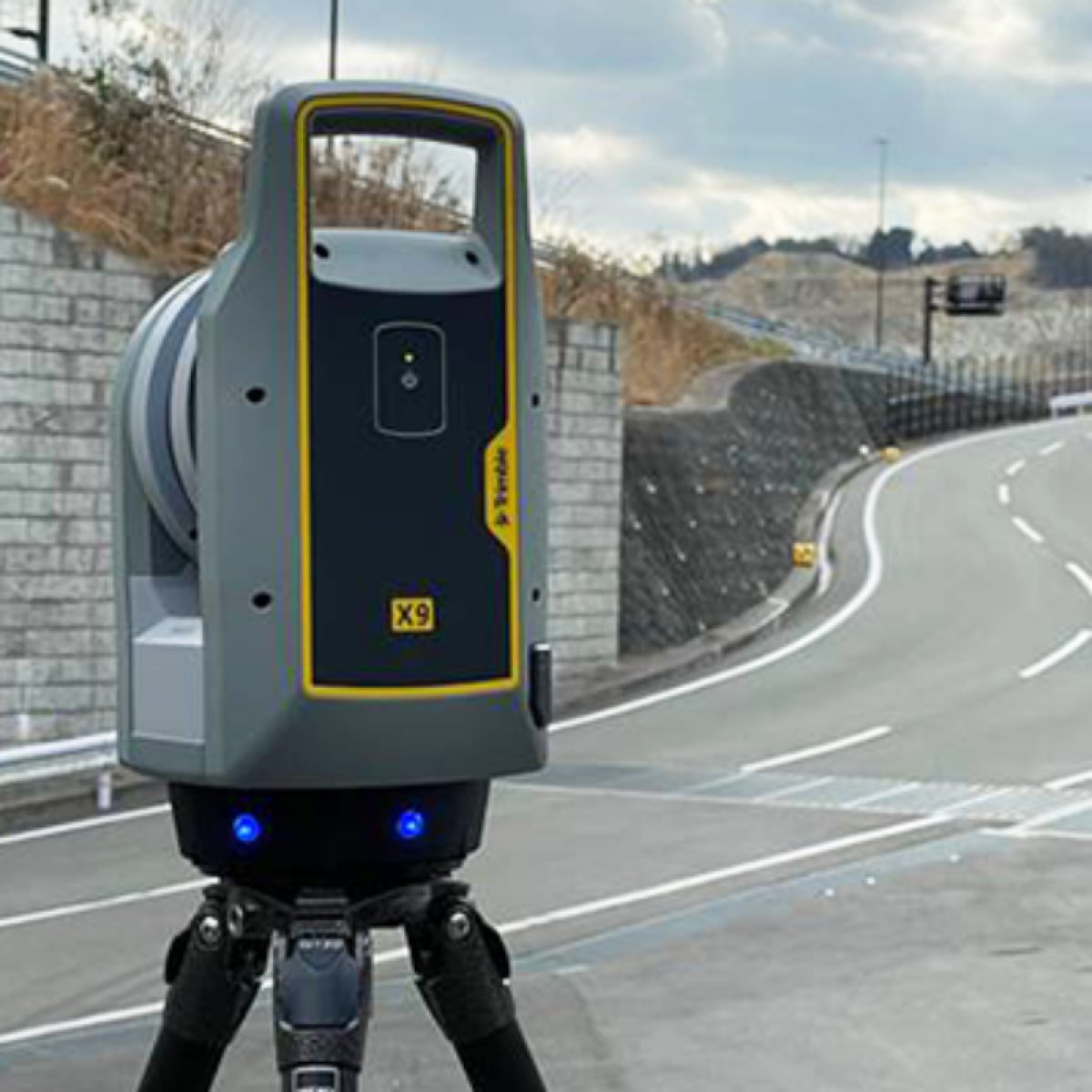
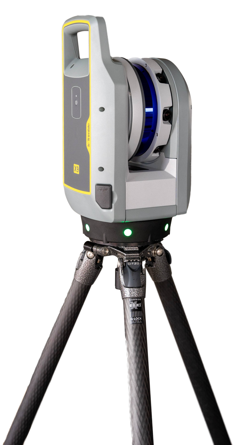
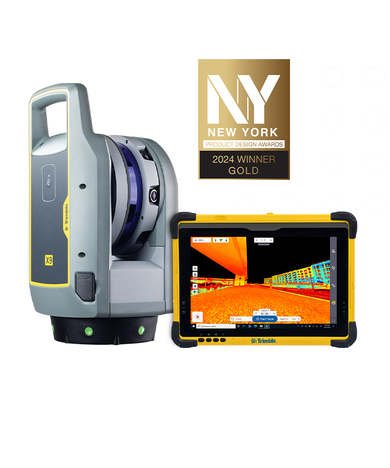

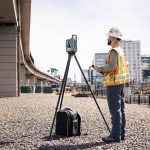

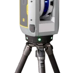
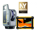
Trimble X9 Laser Scanner
- Kalibrasi dan perataan otomatis
- Jarak 80 - 150 m
Ready to start your project?
Contact us today for a free consultation and the best solution.
Description
Trimble X9 Laser Scanner adalah perangkat pemindai 3D (terrestrial laser scanner) generasi terbaru yang menggabungkan kecepatan pencapture tinggi, akurasi data superior, dan workflow otomatis, menjadikannya solusi ideal untuk berbagai aplikasi survei, pemetaan, inspeksi, dan digitalisasi dunia nyata secara detail.
SPECIFICATION
DOWNLOAD
Want to see more detailed specifications?
Download the full specifications PDF file via the link below.
General Questions
Trimble X9 adalah terrestrial laser scanner (TLS) berperforma tinggi yang digunakan untuk menangkap data 3D dalam bentuk point cloud dengan akurasi tinggi dan workflow yang efisien.
Automatic self-calibration
Kecepatan scanning tinggi
Visualisasi NaturalVue™
Workflow lebih sederhana & cepat
Stabilitas akurasi jangka panjang
Trimble X9 memiliki jangkauan scanning hingga ratusan meter (tergantung kondisi reflektivitas dan lingkungan), sehingga cocok untuk indoor maupun outdoor survey.
X9 dirancang untuk memberikan akurasi tinggi dalam level milimeter, cocok untuk aplikasi engineering, konstruksi presisi, dan deformasi monitoring.
Fitur ini memungkinkan scanner melakukan pengecekan dan kalibrasi internal secara otomatis untuk memastikan performa tetap optimal tanpa perlu kalibrasi manual rutin ke laboratorium.
Still unsure about choosing the right product?
Contact us today for a free consultation and the best solution.
Free Consultation